
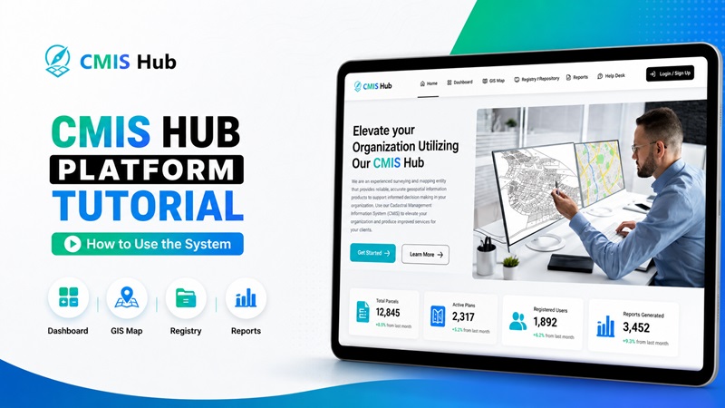
Cadastral Management Information System (CMIS)
Date: March 22, 2026
CPD Hours: 4 CPD Hours


- 1 Section
- 2 Lessons
- 4h Duration
As cadastral processes continue to evolve, it is increasingly important for land surveyors, assistants, and support teams to become familiar with the systems that are shaping professional workflows. Today’s session is intended to provide that practical exposure, with a clear focus on how the CMIS supports access to cadastral information, improves efficiency, and strengthens digital service delivery in Trinidad and Tobago.