
Navigating the CMIS Hub


- 1 Section
- 2 Lessons
- 2h Duration
Course
This condensed 2-hour CMIS Hub training course provides a practical walkthrough of the key features and workflows within the Cadastral Management Information System (CMIS) Hub. The session is designed for land surveyors and other relevant users who need to understand how to navigate the platform, access cadastral information, search for survey plans, and prepare for online plan submission through the system.
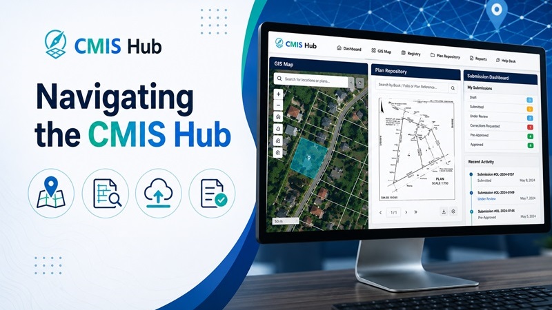
Participants will be introduced to the CMIS Hub interface, including the dashboard, GIS Map, Registry, Plan Repository, Reports, and Help Desk areas. The course will also explain how users can log in, reset their password, confirm access rights, and understand the difference between public access and licensed land surveyor access.
The session will cover how to use the GIS Map to search for parcels, plan points, road names, communities, wards, parishes, and counties. Participants will also learn how to use map tools such as basemap selection, layers, legends, bookmarks, coordinate lookup, measurement tools, buffers, drawing tools, print options, and “plans near me” searches.
The course will also demonstrate how to use the Plan Repository to search for and view available scanned plans, including book and folio references and large plan references. Participants will be shown how to view, download, and interpret available plan records, as well as understand limitations where certain documents may not yet be uploaded or fully indexed.
A key part of the session will focus on the online submission process for Old Law plans, including how to create a new submission, upload a survey plan, upload a CAD file, enter required attribute information, add related plan references, complete location and mapping details, include applicant and property information, save drafts, and submit the item to Registry. The course will also explain how submitted plans move through the workflow, including Registry review, Check Staff review, correction requests, pre-approval, notifications, and tracking the status of submissions within the system.
Topic Areas Covered
- Introduction to the CMIS Hub platform
- Logging in, password reset, and account access
- Understanding user roles and surveyor access
- Navigating the dashboard and main menu
- Using the GIS Map and search tools
- Viewing plan points, parcels, and attached survey plans
- Selecting basemaps and map layers
- Using coordinates, measurements, bookmarks, buffers, and print tools
- Searching the Plan Repository by book/folio and large plan reference
- Viewing and downloading scanned plans
- Understanding Registry search and advanced search
- Creating an Old Law plan submission
- Uploading survey plans and CAD files
- Entering plan attribute information correctly
- Adding related plan references and supporting documents
- Understanding submission status, workflow history, and notifications
- Responding to corrections and tracking pre-approval
- Reporting issues through the Help Desk