

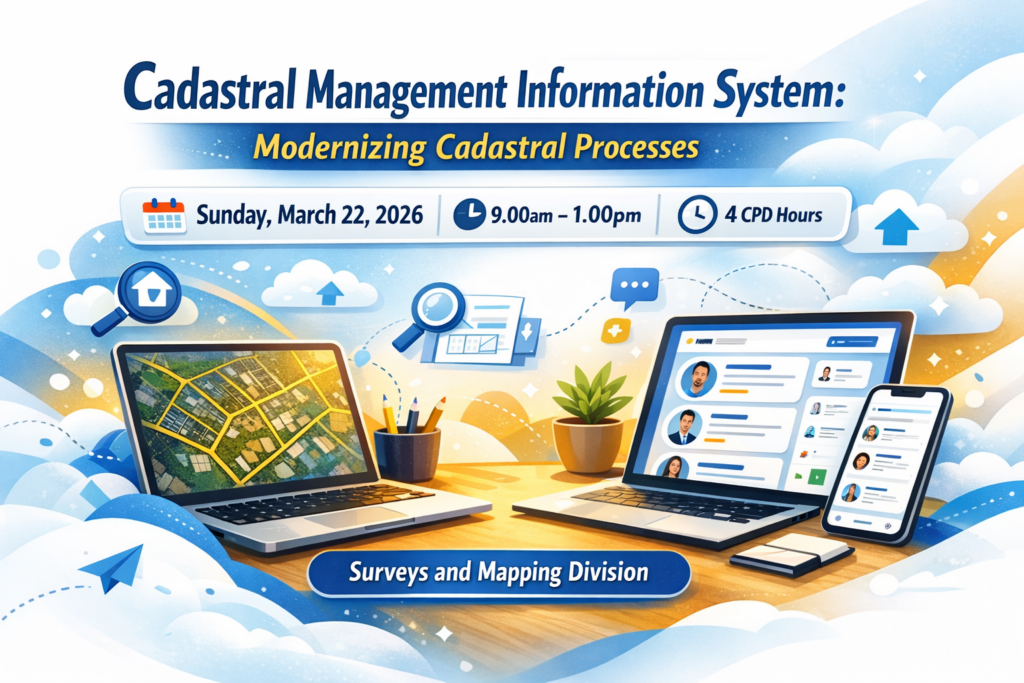
The Cadastral Management Information System (CMIS), is an important digital solution for advancing the modernization of cadastral processes in Trinidad and Tobago. The session will demonstrate how the system’s core functionalities add practical value by improving access to cadastral information, enhancing workflow efficiency, and supporting the profession’s transition toward more effective use of digital land administration tools.
Key areas of focus
- GIS Map Interface – navigation and parcel visualization
- Plan Repository – accessing survey plans
- Attribute Search Functions – efficient parcel and metadata queries
- Old Law Online Submission – digital submission workflow and requirements